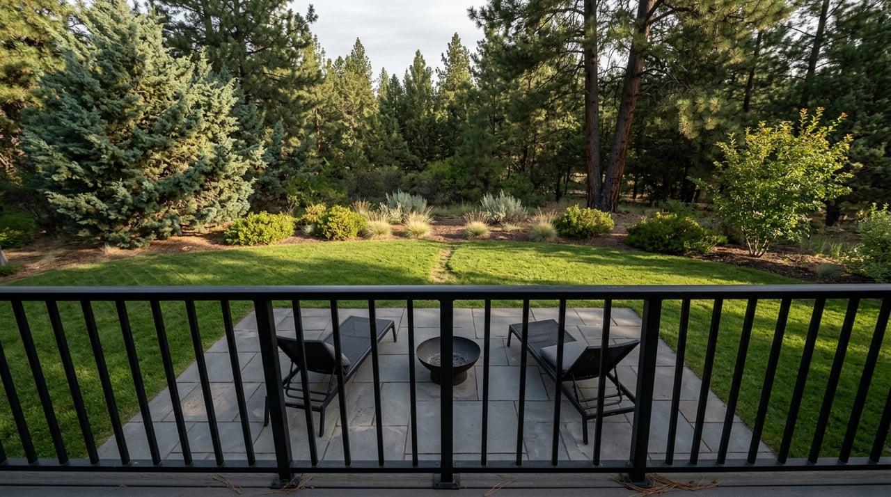
If you've walked the gap between Sylvan Park and Summit Park this year, you've seen the fencing. Orange mesh, a portable toilet, a stack of playground equipment waiting to go in the ground. It's easy to read that as one project: the district is fixing up the park. It isn't. Bend Park and Recreation District drew a line around exactly what it would touch atop Awbrey Butte, and that line stops well short of the trail most residents actually use every day.
Understanding where that line falls, and what changes at the edge of it, tells you more about how this neighborhood's public spaces actually work than any amenity list ever could.
What's Actually Getting Rebuilt
Sylvan Park sits at the top of Awbrey Butte, 2996 NW Three Sisters Drive, and it's the highest-elevation park in the entire Bend Park and Recreation District system. The district acquired the land from Brooks Resources in 1988, and the playground that's now coming out went in during a second round of work in 1993. That makes it a little over thirty years old, and the district has said plainly that it no longer serves a growing neighborhood, both in terms of equipment and in terms of getting from the parking area to the play structure itself.
The fix is a $600,000 renovation, funded through property taxes, replacing the playground and its surfacing and building an accessible route in from the lot. The district's own project page originally targeted a fall 2026 finish. A March 2026 update from Central Oregon Daily had the timeline pulled forward, with the district saying the work would be done by summer. If that held, the new equipment should already be open by the time you're reading this. If it slipped back to the original schedule, you're looking at a few more weeks of fencing before the fall.
Either way, it's a contained project. And the district was explicit about the boundary.
The Line The Renovation Doesn't Cross
Here's the sentence that matters most in the whole announcement: the tennis courts, the parking lot, and the surrounding trails are not part of this project.
That's not an oversight. It's a scope decision, and it tells you something real about how BPRD prioritizes capital spending on the butte. The playground gets a rebuild because it's aging infrastructure with an accessibility gap. The trail that actually connects Sylvan Park to Summit Park, the one most residents walk far more often than they use the play structure, gets nothing, because nothing was asked for. It's still the same unpaved path through natural area it's been for decades, and the district's page for both parks describes it that way today: an informal, tree-shaded connector, not a capital asset up for renovation.
If you live on the butte and your daily use of these two parks is the walk between them rather than the playground itself, this renovation changes almost nothing about your actual routine. It's worth knowing that going in, so you're not disappointed when the new play structure opens and the trail looks exactly the way it did last year.
The Trail That Starts At Your Fence Line And Ends At A Different Rulebook
The Sylvan-to-Summit connector is the quiet start of a much longer system, and this is where the real surprise sits for anyone who's walked it without thinking too hard about where it goes.
From Summit Park, at 1150 NW Promontory Drive, the route continues down the north face of the butte and eventually meets the Archie Briggs Canyon Trail, with a trailhead at 3360 NW Panorama Drive. That trail descends into a dry canyon lined with juniper and pine, crosses Mount Washington Drive, and drops down to join the Deschutes River Trail's Awbrey Reach segment near Sawyer Park. Along that stretch, the trail runs high on the canyon wall, and on a clear day you can see straight across the river to the cliffs and open meadows of Riley Ranch Nature Reserve.
You can see it. You can't walk into it from there. The district's own trail page says it directly: there is no access across the river to Riley Ranch from the Awbrey Reach segment. To actually enter Riley Ranch, you drive around to its own trailhead off O.B. Riley Road, on Glen Vista Road.
And once you're there, the rules change. Riley Ranch is 184 acres the district bought in 2012 with money from a $29 million bond measure, land that was once known as Gopher Gulch before it was renamed for O.B. Riley, who filed an original homestead claim on part of the property. Two cabin ruins on the site, built from hand-hewn logs, likely predate 1900. It's a genuinely different kind of park, and BPRD manages it that way on purpose. Dogs are not allowed there at all, not even on leash, and neither are bikes or remote-control devices of any kind. That's a deliberate choice by the district's Citizens Advisory Committee, meant to protect wildlife and give visitors who aren't comfortable around dogs or bikes a place of their own.
Compare that to the Awbrey Reach segment you just walked to get within eyeshot of Riley Ranch, where leashed dogs are perfectly welcome, same as most of the twelve-plus miles of the Deschutes River Trail system. So the rule doesn't shift gradually as you head toward the river. It flips at a specific boundary, on a piece of park land that looks, from a map or from across the canyon, like it should be part of the same continuous system as everything else on the butte.
The district has talked for years about eventually building a bridge across Archie Briggs Canyon to link Riley Ranch directly into the Deschutes River Trail and Sawyer Park. It hasn't happened, and there's no announced timeline for it. Until it does, the two systems stay administratively and physically separate, joined only by sightlines.
Why This Is The Detail Worth Knowing
None of this shows up if you just read a trail map. A map shows connected lines and green space and makes the whole butte look like one continuous recreation system, from your own back gate to the river canyon. The reality on the ground is a set of distinct decisions made at different times by different processes: a 1993 playground that finally got its funding in 2026, a 1988 land acquisition that never touched the connector trail, and a 2012 nature reserve purchase that came with its own advisory committee and its own rulebook.
If you're planning a dog walk that starts at Sylvan Park and ends somewhere near the river, that seam is the thing to actually plan around, not the mileage. And if you're new to the neighborhood, or hosting someone who is, it's the kind of local detail that saves an awkward moment at a trailhead sign rather than an argument with a park ranger.
The same logic extends to how you think about the butte's other everyday spaces. Awbrey Village Shopping Center, at the corner of NW Mt. Washington Drive and Summit Drive, and Newport Avenue Market a bit further down, both function as neighborhood-scale amenities precisely because they sit inside the pocket of daily errands residents already run between the parks and the golf course. None of it reads as a single planned system from a brochure. It reads that way once you've walked it enough times to know where the boundaries actually sit.
That's the thing about a neighborhood like this one. The value isn't in knowing that Awbrey Butte has parks and trails and a golf course. It's in knowing exactly where one system's rules end and the next one's begin, and building your routine around the actual boundaries rather than the ones a map implies.
If you're weighing what a home near these parks is actually worth as the neighborhood keeps investing, unevenly, in its shared spaces, Lisa Cole has spent decades tracking exactly this kind of detail on Awbrey Butte and Awbrey Glen. Her instant home valuation tool is a fast way to see where your property stands today.