If you ask five Bend locals to define the “Westside,” you might hear six answers. That can be frustrating when you are trying to choose a neighborhood, plan your commute, or gauge value. This guide breaks down what locals usually mean, which enclaves are included, and how location shapes daily life and pricing. You will walk away with a clear picture and a checklist to make smart decisions. Let’s dive in.
Westside, defined in plain language
In everyday conversation, “Westside” is a local shorthand rather than an official boundary. Most people mean areas west of downtown and the Deschutes River, including neighborhoods that share easy access to trails, parks, and dining.
There are two common ways locals use the term:
- West of the Deschutes River and downtown. This often includes the Old Mill area, Awbrey Butte, and river-adjacent pockets to the southwest.
- West plus Northwest combined. Many people use “Westside” to include the city’s west and northwest quadrants, such as NW Crossing, Awbrey Butte, and parts of southwest Bend, because they share similar lifestyle perks.
Why definitions vary:
- Bend’s topography creates micro-areas. The river and buttes form distinct enclaves that people group by lifestyle factors like river access, views, and trails.
- Listing labels overlap. MLS entries and broker marketing sometimes tag homes as “Westside,” “NW Bend,” or “Southwest,” and those labels are not always consistent.
Practical tip: When you talk about the Westside, name your landmarks or list representative neighborhoods to avoid confusion. If you need a formal line, consult City of Bend neighborhood maps or Deschutes County resources.
Neighborhoods you will hear on the Westside
Old Mill District and river corridor
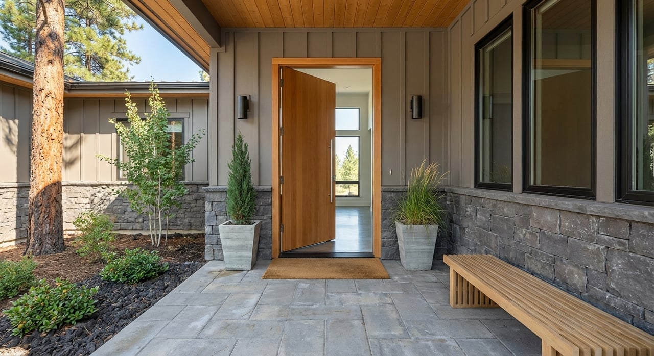
The Old Mill is a mixed-use riverfront hub with shops, restaurants, event spaces, and bike and pedestrian routes. It anchors much of the Westside lifestyle. Nearby homes benefit from access to the Deschutes River and multi-use trails, a frequent selling point for buyers.
Awbrey Butte
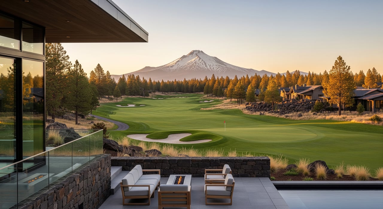
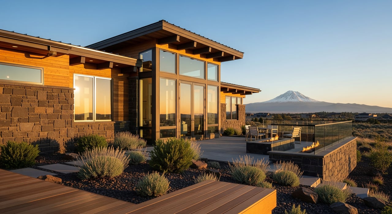
Awbrey Butte sits northwest of downtown and is known for panoramic Cascade and city views, larger lots, and mid-to-upscale homes. Elevated view lots and mature landscaping are key value drivers here. If mountain vistas are on your wish list, you will likely spend time on Awbrey.
NW Crossing
NW Crossing is a planned neighborhood in Northwest Bend with parks, local shops, and a village-like feel. Walkability and community programming are big draws. Buyers who want amenities close by often prioritize this area.
River-adjacent pockets
Various neighborhoods along the west bank offer quick access to river trails and parks. Options range from condos and townhomes to single-family homes. Proximity to the river supports recreation, scenic value, and summer cooling, which can influence pricing.
Southwest Bend options
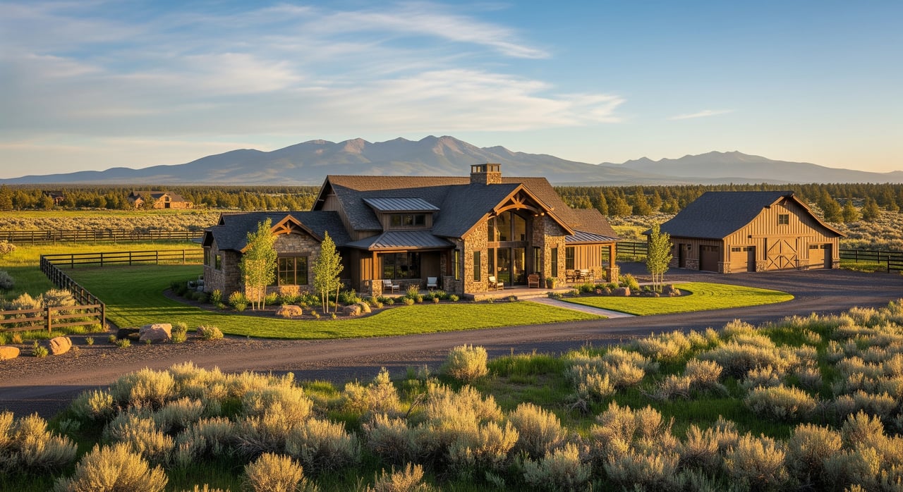
Parts of southwest Bend offer a mix of newer subdivisions and established custom homes. You will find homes near regional parks and trailheads, as well as neighborhoods close to Shevlin-area open spaces and sections of River Rim. Many buyers appreciate slightly larger lots and newer construction in these pockets.
Newer subdivisions and infill
Development at the west and southwest edges has introduced newer product types, including HOA communities, townhomes, and modern single-family homes. Relocation buyers often value newer builds for energy efficiency and lower maintenance, which affects demand and price segmentation.
Lifestyle drivers that shape daily life
Deschutes River and trail access
The Deschutes River is Bend’s signature outdoor asset. Westside neighborhoods that sit near the river benefit from access to riverfront parks, floating and fishing spots, and scenic trail corridors. For many buyers, this proximity is a top lifestyle pull and a reason to pay a premium.
Trail networks and mountain biking
West and Northwest Bend are convenient to major trail systems used for mountain biking, running, and hiking. The Phil’s Trail complex and Shevlin Park attract locals and visitors alike. If you want to ride or trail-run from your door, the Westside puts you closer to the action.
Parks and day-use areas
From riverfront parks to pocket parks sprinkled through neighborhoods like NW Crossing, Westside parks support daily recreation. Easy access to green space can improve walkability and overall quality of life.
Dining, retail, and nightlife
The Old Mill and nearby corridors host a high concentration of Bend’s restaurants, breweries, and retailers. Living close to these amenities shortens your evening outings and supports a more pedestrian-friendly lifestyle.
Schools and community services
The Westside includes a mix of public and private school attendance zones. If schools are part of your decision, verify current boundaries with the Bend-La Pine School District, as lines and assignments can change. Community services and medical care are reachable within short drive times from most Westside neighborhoods.
How location affects pricing and competition
Location premiums
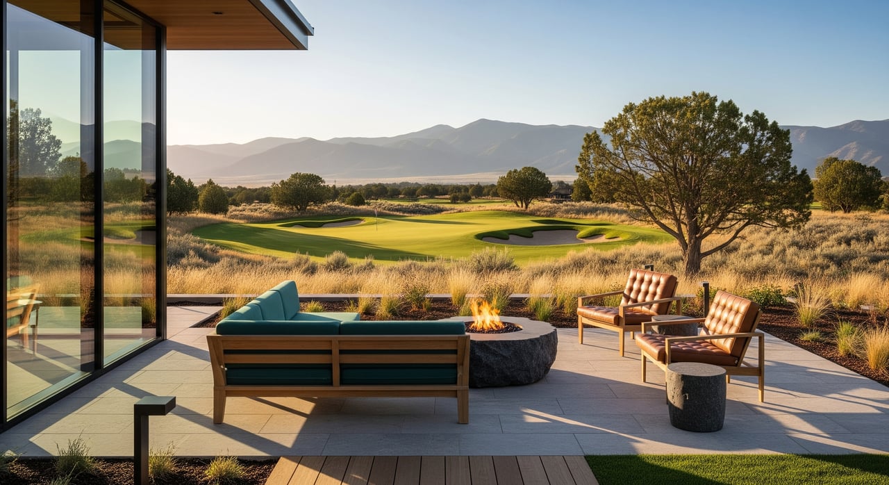
Homes close to the river, riverfront parks, trailheads, or downtown dining often command a premium. Elevated lots with Cascade or river views, such as those on Awbrey Butte, also tend to rank among the most valuable. These micro-locations can influence appreciation over time.
Product types and buyer profiles
You will find several product tiers on the Westside:
- Riverfront and river-adjacent condos or townhomes that appeal to second-home buyers and downsizers.
- Mid-range single-family homes within walking distance to trails, parks, and shops.
- Higher-end custom homes and view properties that draw lifestyle and relocation buyers who prioritize scenery and privacy.
Each category attracts different buyers and sets its own comp pattern. Newer construction can pull a separate buyer pool focused on low maintenance and energy efficiency.
Days on market and competition
Highly walkable or river-adjacent locations often receive strong interest and can sell faster than similar homes farther from the river or downtown. Stay on top of current market figures by tracking local MLS or association reports so you can calibrate expectations on timing and pricing.
Resilience and risk factors
View lots and elevated properties can be more insulated from certain development pressures. In contrast, low-lying riverfront parcels may sit within designated floodplains. If you are evaluating a river-adjacent home, review Deschutes County GIS and FEMA resources and consult appropriate professionals for insurance and inspection guidance.
Buyer and seller checklist for Westside properties
Use this quick list to frame your search or prep your listing:
- Define your Westside scope. Clarify whether you mean “west of downtown/river” or “west plus northwest,” and list the neighborhoods that fit your criteria.
- Prioritize lifestyle drivers. Rank river access, trail proximity, views, and walkability to dining to guide trade-offs.
- Verify boundaries and zoning. Reference City of Bend maps for clarity on neighborhood and planning contexts.
- Check floodplain status. For river-adjacent homes, review Deschutes County GIS and FEMA designations and speak with your insurance provider.
- Confirm school boundaries. Verify current Bend-La Pine School District assignments if that is part of your decision.
- Review HOA and CC&Rs. Planned communities and newer subdivisions often have HOA fees and rules that affect parking, short-term rentals, landscaping, or exterior changes.
- Understand short-term rental rules. If investment income is part of your plan, review local regulations and permitting requirements before you buy.
- Consider slope and utilities for view lots. Steeper sites can impact construction, landscaping, and long-term maintenance costs.
- Track comps by product type. Compare like with like: river condos vs. single-family, village-walkable homes vs. view properties, and new builds vs. older homes.
Map your search the right way
Because MLS labels can blur lines, the smartest approach is to search by map and lifestyle filters. Start with your daily routines: morning rides or runs, school drop-offs, grocery stops, and evening dining. Then test-drive your routes at different times of day to confirm commute windows and parking realities.
If you are selling, focus your marketing on the lifestyle drivers your property serves best. Highlight trail and river access, view corridors, and proximity to amenities. These details help your home stand out and attract the right buyers.
Ready to pick your pocket of the Westside?
The “Westside” is not one place. It is a set of Bend lifestyles tied to the river, trails, parks, and dining. Once you define the version that fits you best, you can target neighborhoods with confidence and make a smart investment.
If you want a seasoned guide to curate options and negotiate with clarity, reach out to Lisa Cole. Get an Instant Home Valuation or start a tailored Westside search today.
FAQs
What does “Westside” mean in Bend real estate?
- It is a local term, not an official boundary, usually referring to areas west of downtown and the Deschutes River, often including Northwest Bend.
Which Bend neighborhoods are commonly called Westside?
- Old Mill and river-adjacent pockets, Awbrey Butte, NW Crossing, and parts of southwest Bend near Shevlin-area open space and River Rim are often included.
Why do listings label the same area as Westside, NW, or SW?
- MLS and broker marketing use overlapping labels; map-based searches are the best way to target your preferred lifestyle features.
How does Westside location affect home values?
- Proximity to the river, trailheads, and dining, plus elevated view lots, tends to command premiums compared to similar homes farther out.
Are Westside riverfront homes at higher flood risk?
- Some low-lying parcels fall within designated floodplains; check Deschutes County GIS and FEMA resources and confirm insurance requirements.
Do Westside neighborhoods have HOAs or restrictions?
- Some planned communities and newer subdivisions do; review CC&Rs and fee schedules in the listing documents before you commit.
How should relocation buyers narrow their Westside search?
- Define top lifestyle priorities, verify school boundaries if needed, and tour by map to test real-world travel times to work, parks, and dining.